
Service Areas in Staten Island, NY
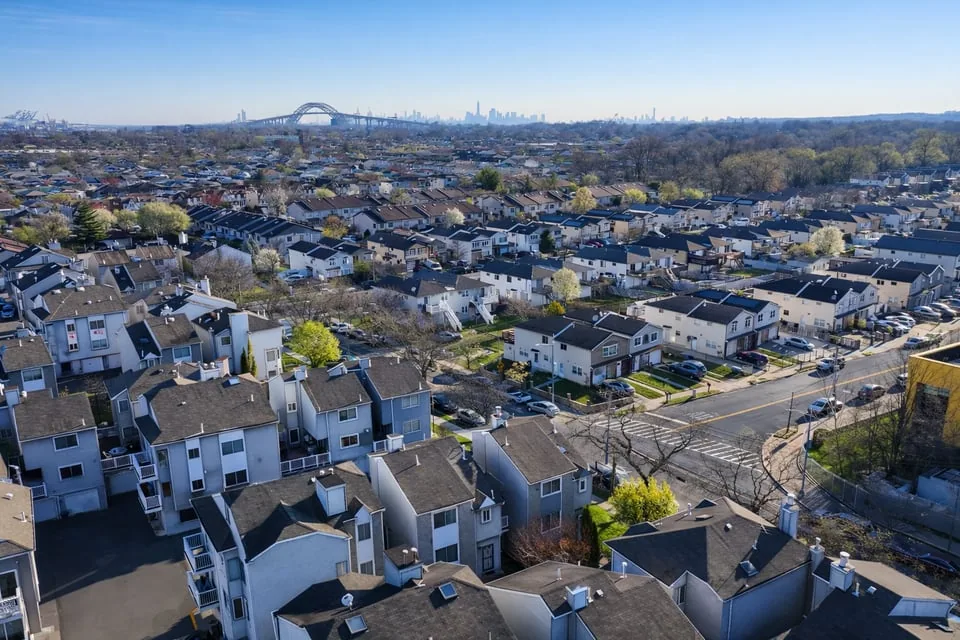
The Kill Van Kull on the north, the Arthur Kill on the west and Raritan Bay on the south hand a Staten Island, NY roof three different kinds of weather before it sees any of its own, and Commercial Roofing Staten Island plans each walk around the shore the building faces. The island measures 58.5 square miles and held 495,747 residents at the 2020 census, and the roofs on it divide into districts that ask very different things of an inspector.
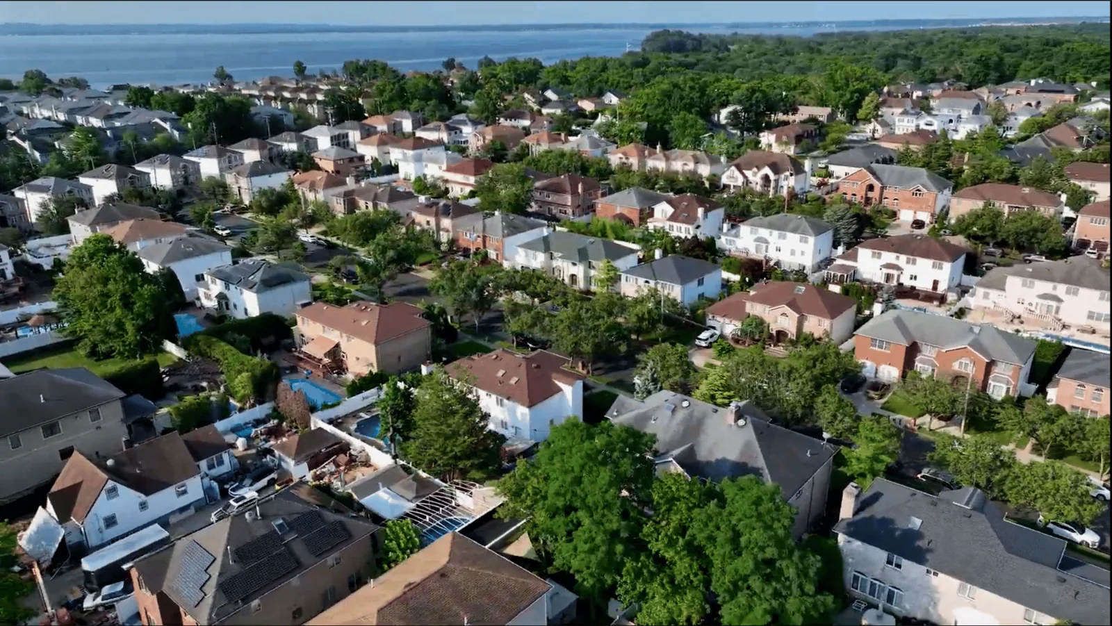
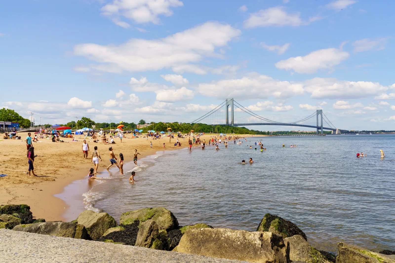
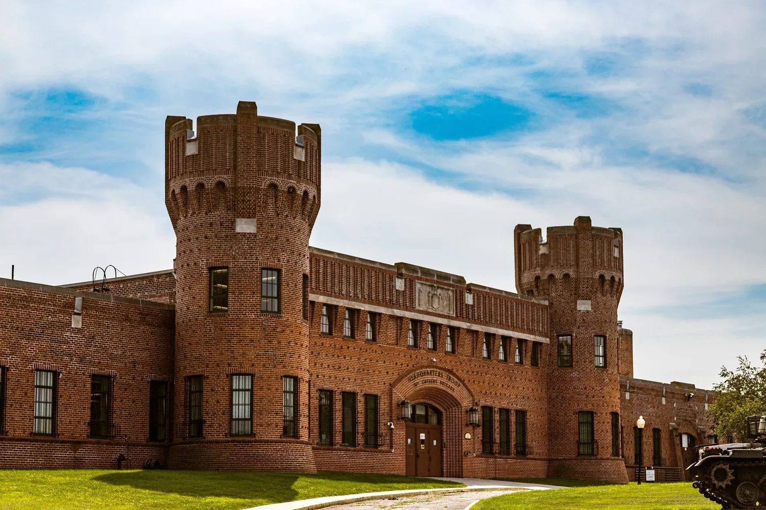
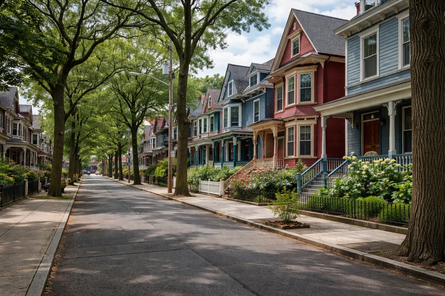

The north shore
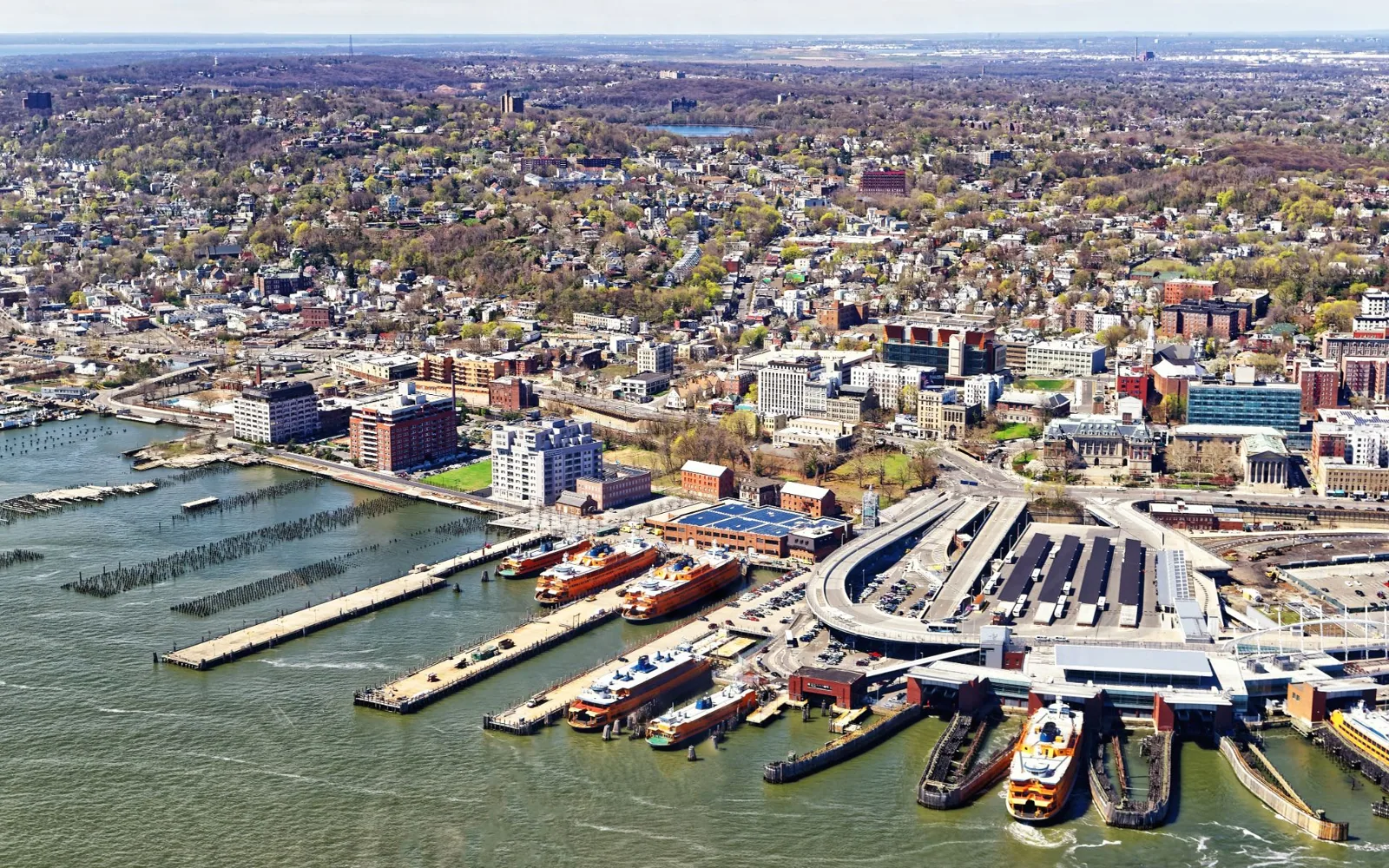
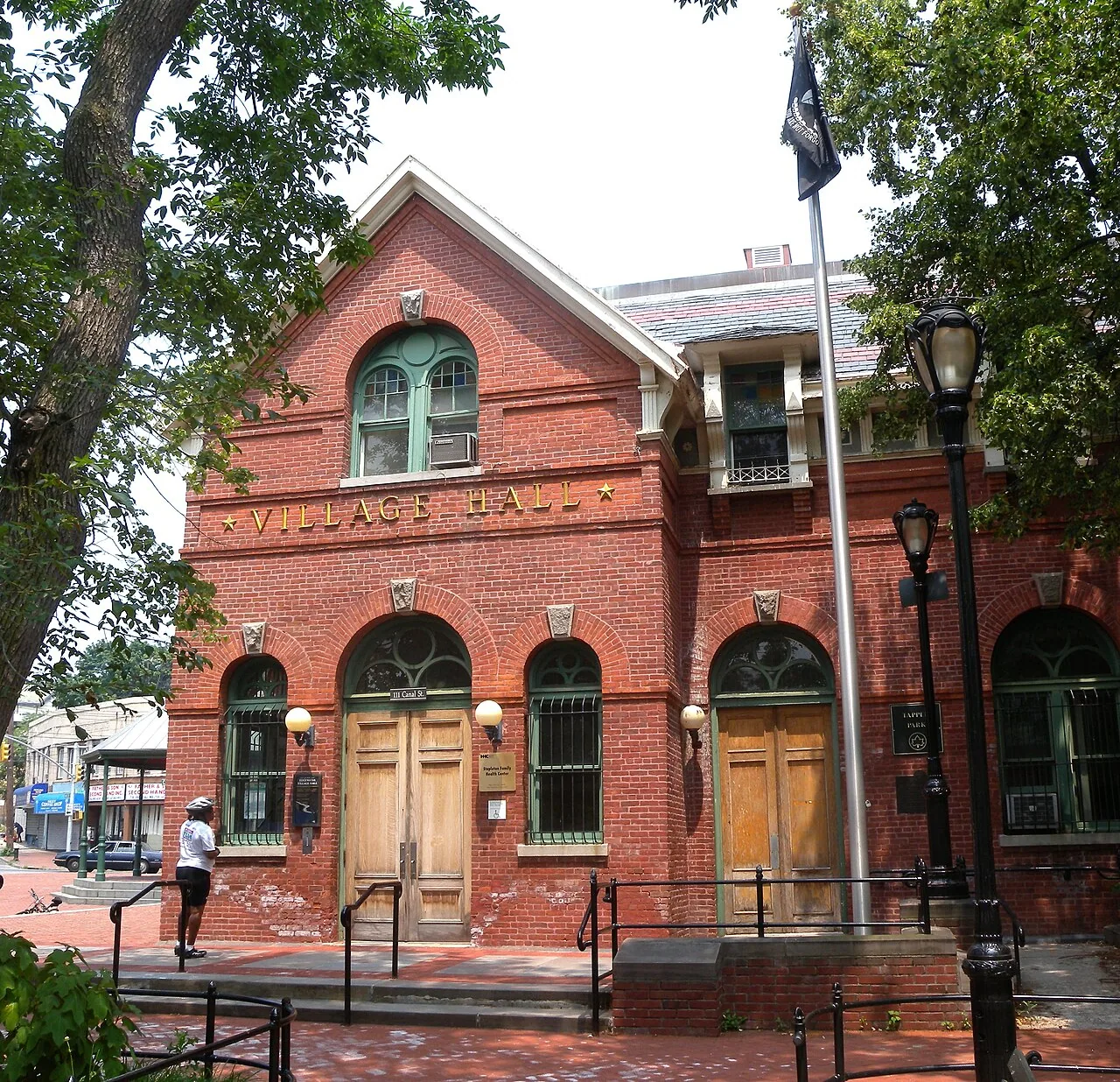
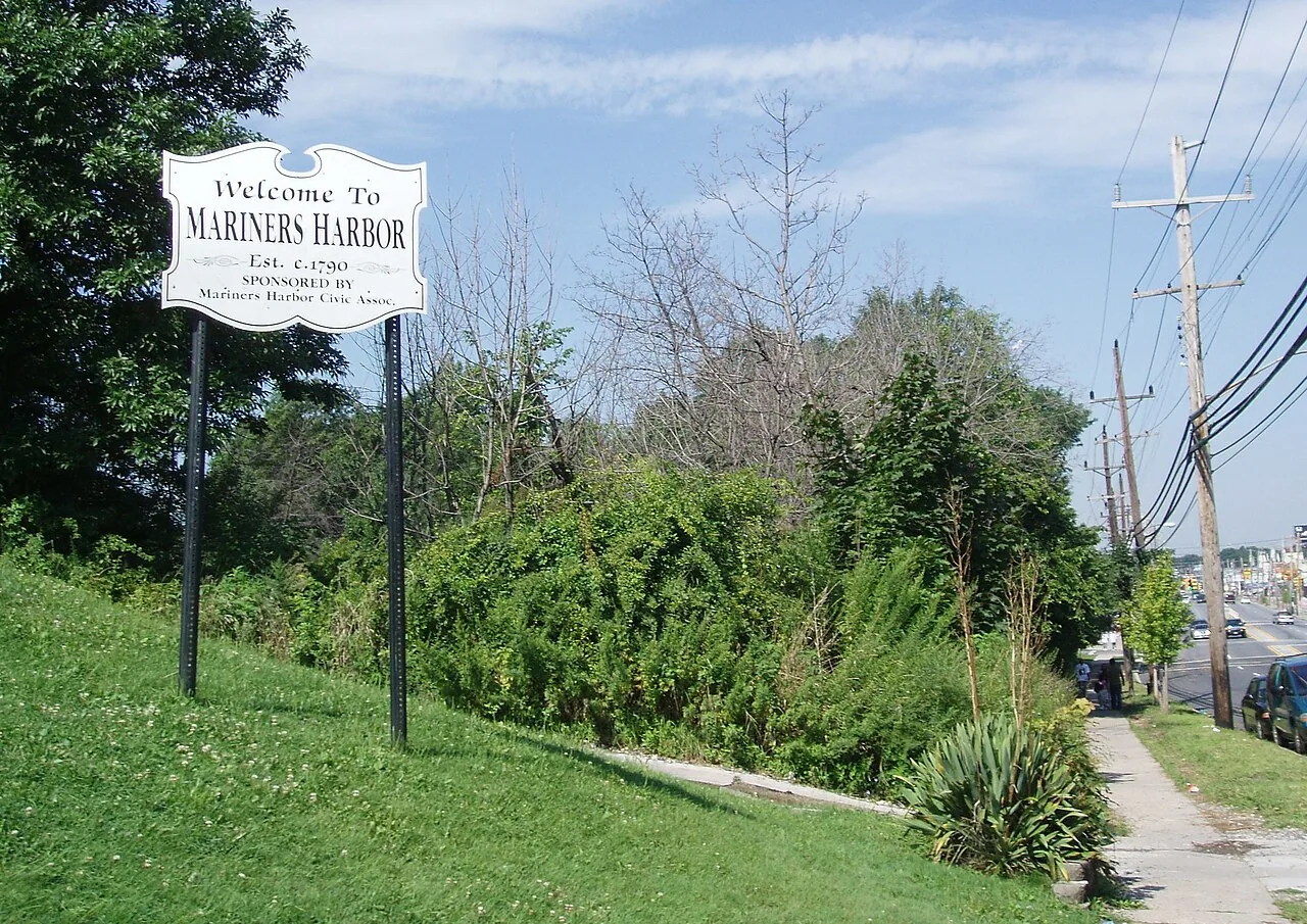
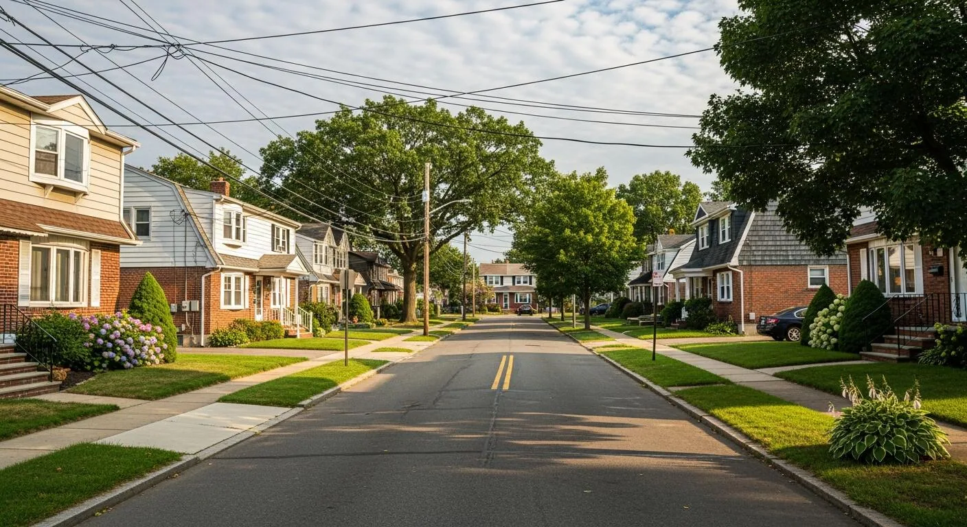
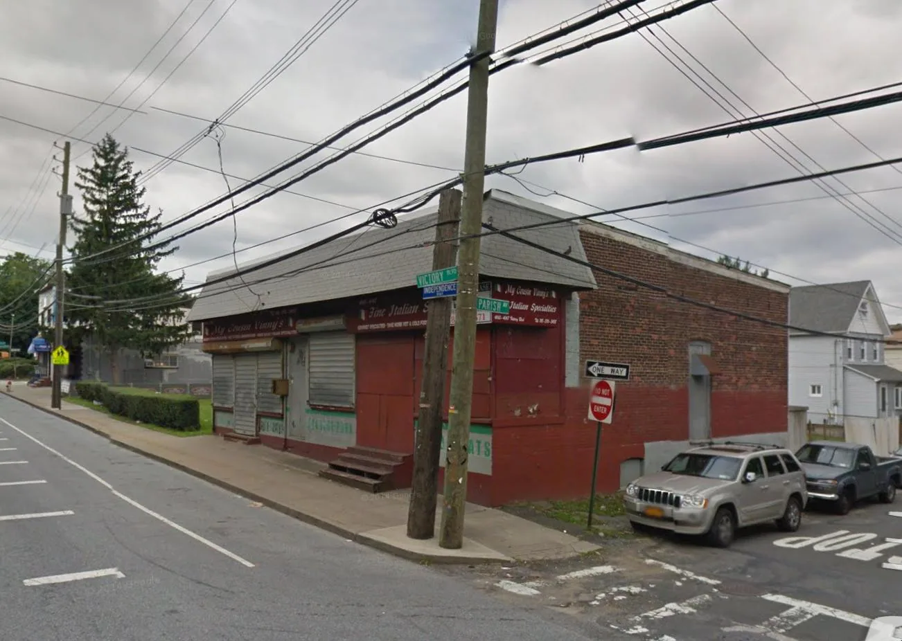
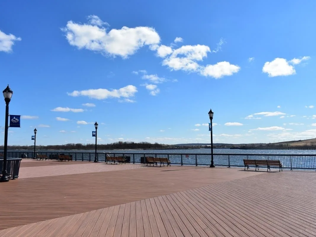
Along the Kill Van Kull sit St. George, with its terminal, courthouse and waterfront retail, Stapleton, where new apartments rose on a former homeport site, Port Richmond and Mariners Harbor, where tug and dry dock firms work the water. The roofs there are judged by exposure and by the age of the buildings under them.
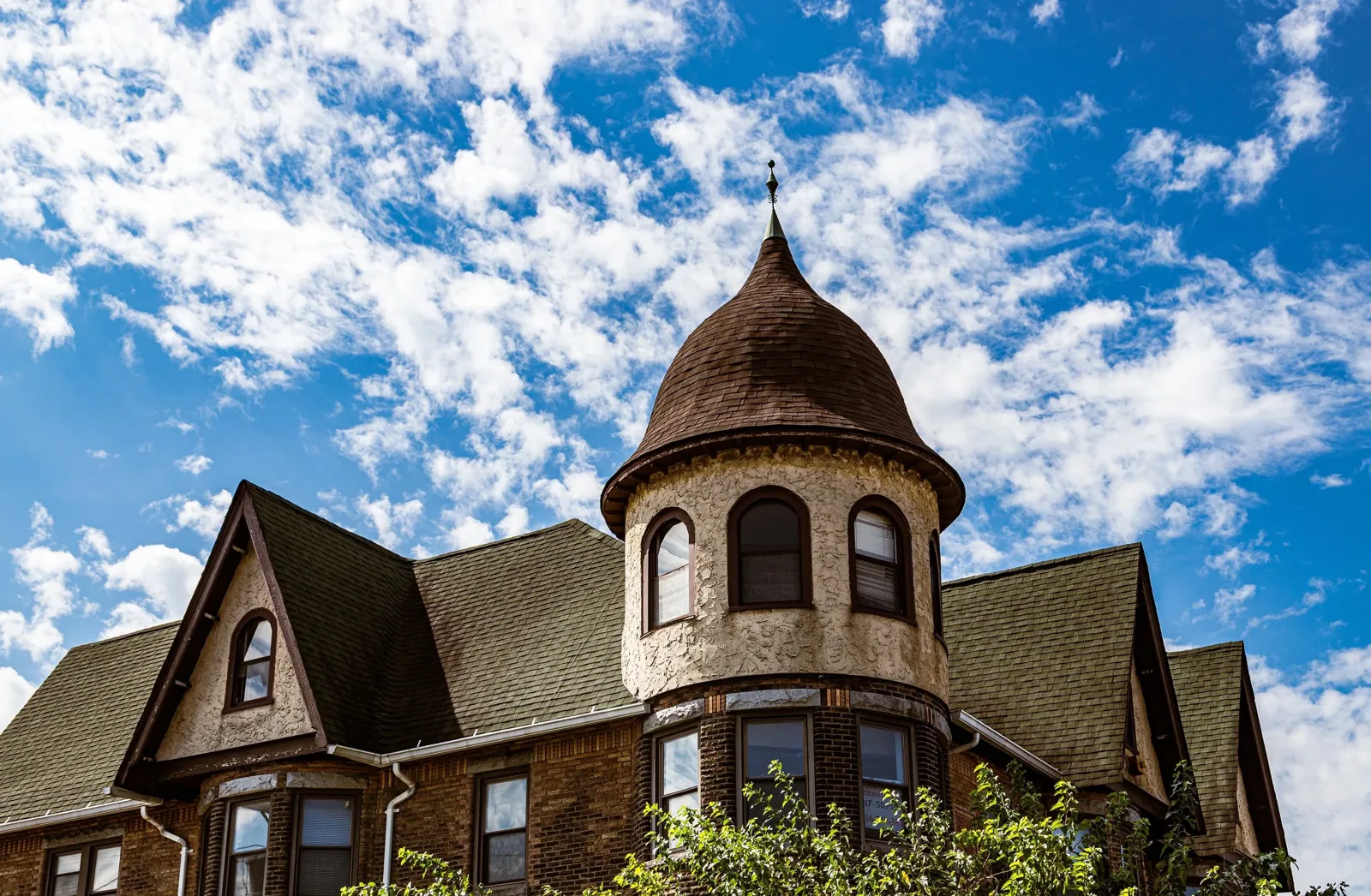
Older brick on Bay Street and Port Richmond Avenue brings parapets, copings and flashings to the top of the checklist, while the waterfront brings wind and a steady need to protect edges. A district with both gets both walks in one visit.
The West Shore belt
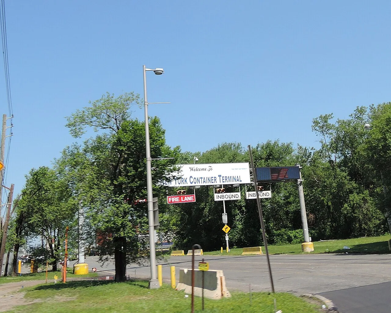
Most of the island's industrial development sits on the West Shore, where the fewest residents live. Bloomfield and Travis carry logistics, telecommunications and retail on the service roads of the West Shore Expressway, and Port Ivory sits beside the Howland Hook rail and port work. Big roofs and long drain runs set the inspection here.
Across a roof that large, a partly blocked drain is easy to miss, so every strainer is cleared and photographed, and an infrared scan after sunset finds the wet insulation the surface hides.
The South Shore
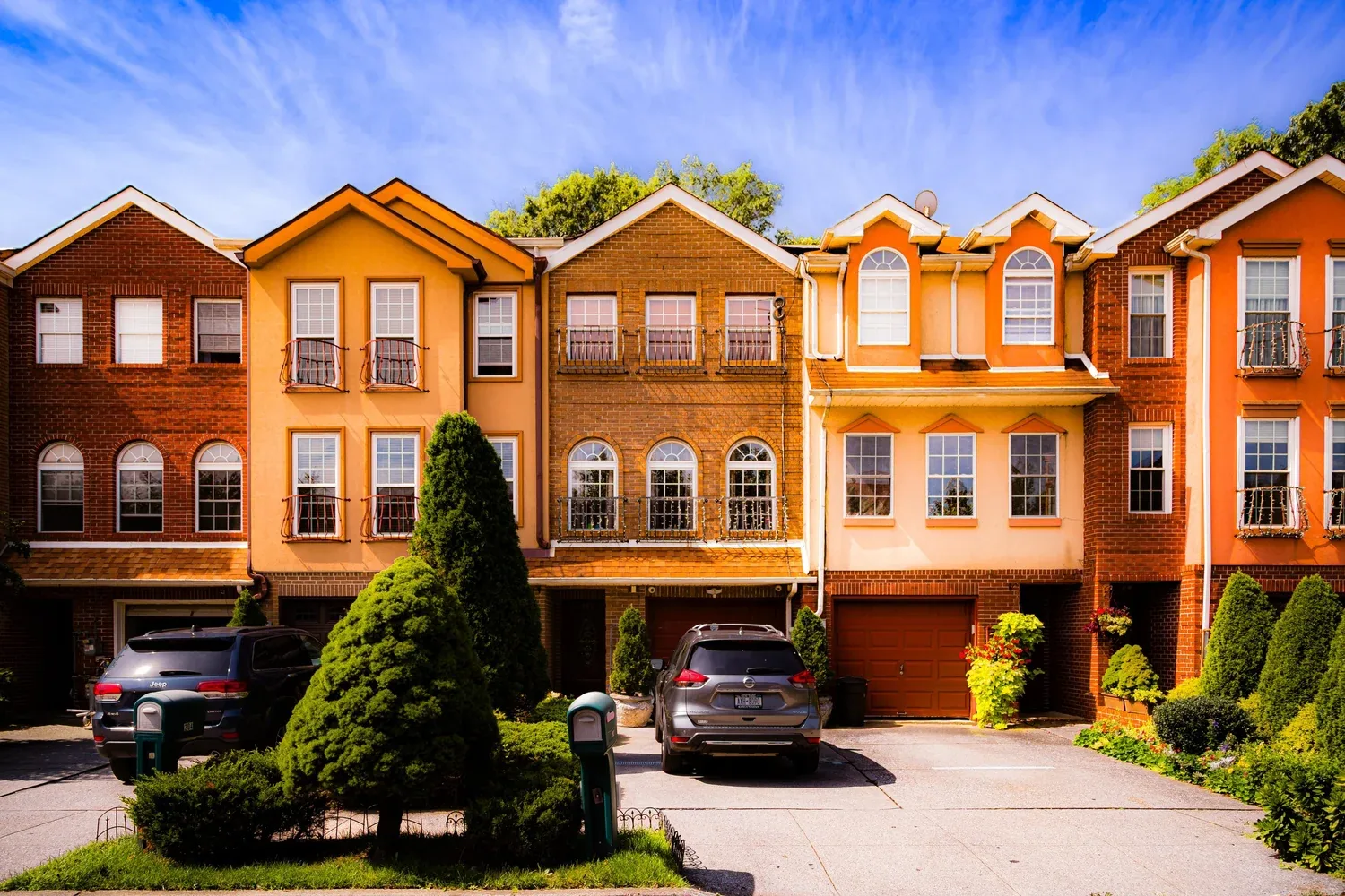
In October 2012 Sandy's floodwater carried off entire blocks of houses in New Dorp, Midland Beach and Oakwood Beach, so roofs near the South Shore flood line are checked for wind-lifted edges and drain backups before anything else. Great Kills, Eltingville and Tottenville follow Hylan Boulevard, the city's longest commercial road, down the island.
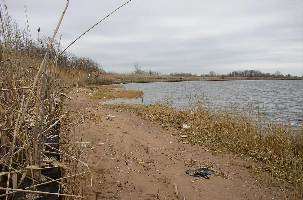
Raritan Bay borders Prince's Bay to the south, and Great Kills Harbor, with private marinas nearby, bounds Great Kills on its southern side. Roofs close to the water get the wind and drain checks first, and where a building stood in the Sandy floodwater, the log also notes how its drains, curbs and equipment pads have held up.
Across the water
Commercial Roofing Questions
Does the district change the inspection?
It changes the order. Shoreline roofs get edges and drains first, industrial roofs get moisture scans, and older commercial streets get parapets and flashing.
Do you work outside Staten Island?
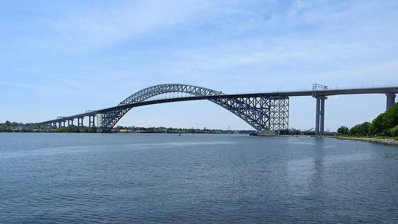
Yes. Bay Ridge in Brooklyn and several New Jersey cities across the bridges are part of our work, and each trip is scheduled around bridge traffic.
How do you decide which area a roof belongs to?
By its address and its exposure. A roof near the water gets the shoreline checklist whichever district name appears on the mailing label.
Can an owner with buildings in several districts get one report?
Yes. Each roof is logged in the same format and ranked on a single list, so the budget goes where the water is doing the most harm.