
Drone Roof Inspection in Staten Island, NY
Drone roof inspection in Staten Island, NY for large, steep or hard-to-reach commercial roofs, with imaging that feeds a hands-on condition report.
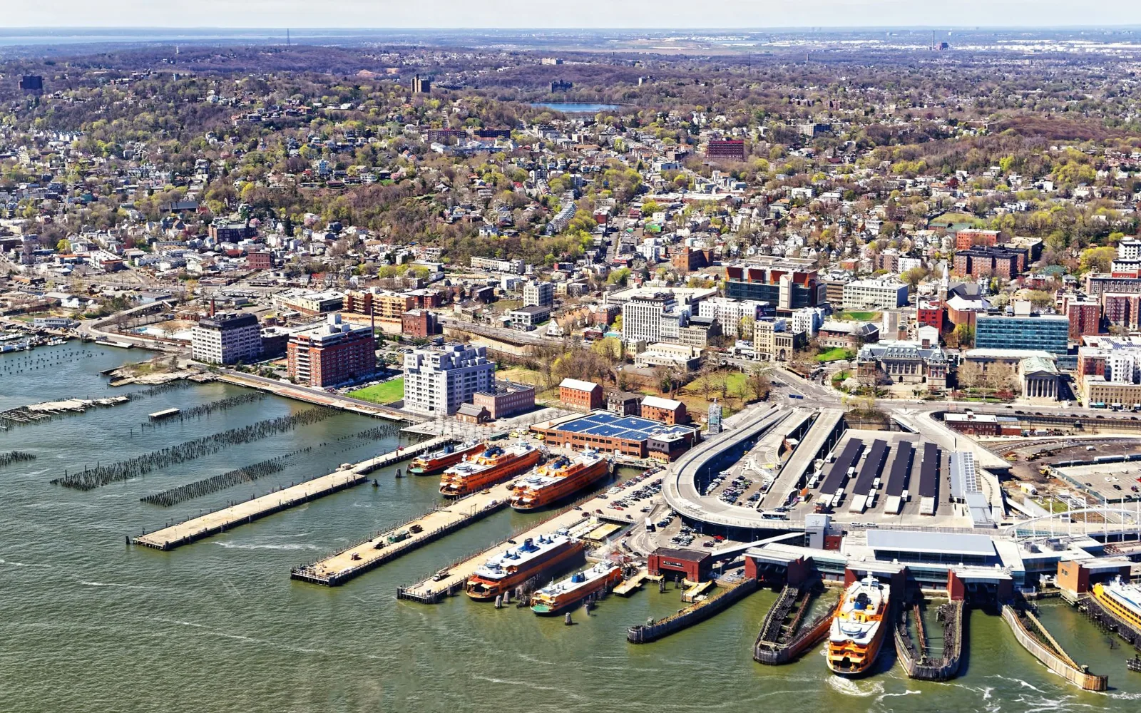
A roof that steps down a hillside, as can happen in St. George, hides its lower sections from anyone standing on the upper one. Add a broad warehouse field in Bloomfield or a tall parapet that makes walking the edge a safety question, and these are the roofs where a drone changes the first hour of an inspection. Commercial Roofing Staten Island flies a camera over the roof, collects overlapping photos of every section, and uses the images to plan a ground-level walk that goes straight to the areas that look wrong. The drone does not replace the walk. It makes the walk faster, safer and better aimed.
Roofs where a drone helps most
Large roofs come first. A roof with a long field and several distinct areas is slow to walk end to end, and an aerial pass shows ponding, discolored membrane, displaced ballast and blown-off debris at a glance. Steep or stepped roofs come second; on a hillside property like those in St. George, the drone reaches sections that are hard to see from any one point on the ground. Third are roofs with limited or unsafe access, where fragile skylights, deteriorated decks or tall edges make a walk risky until we know what to expect. And fourth are multi-building sites where aerial images help us plan the sequence of work across several roofs.
What the imaging captures
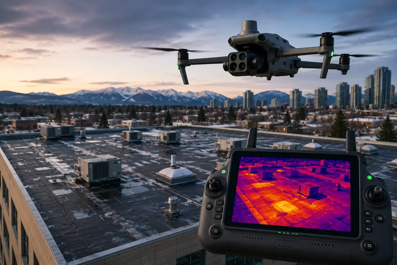
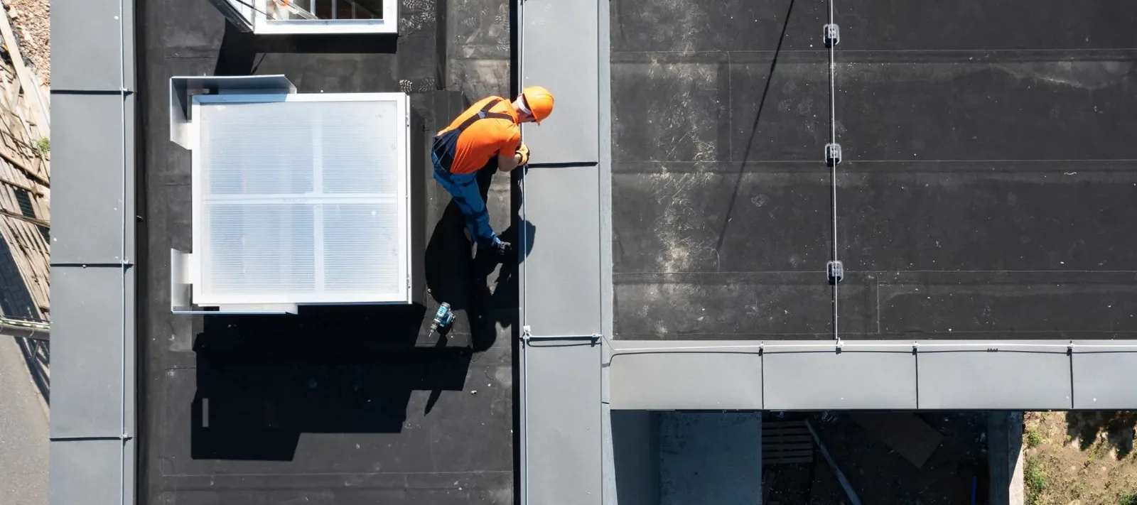
We fly a grid pattern at set heights so the photos overlap and can be stitched into a single map of the roof. Close passes capture details: seam lines, flashing terminations, drain areas, rooftop equipment and edge metal. The images show visible defects such as open seams, ponded water, membrane blisters, missing fasteners, torn flashings and loose edge metal. Thermal cameras can also record temperature differences across the roof, which helps point toward trapped moisture, though a thermal image alone is a lead and not proof. The infrared moisture survey confirms moisture with scans and core cuts.
What a drone cannot see
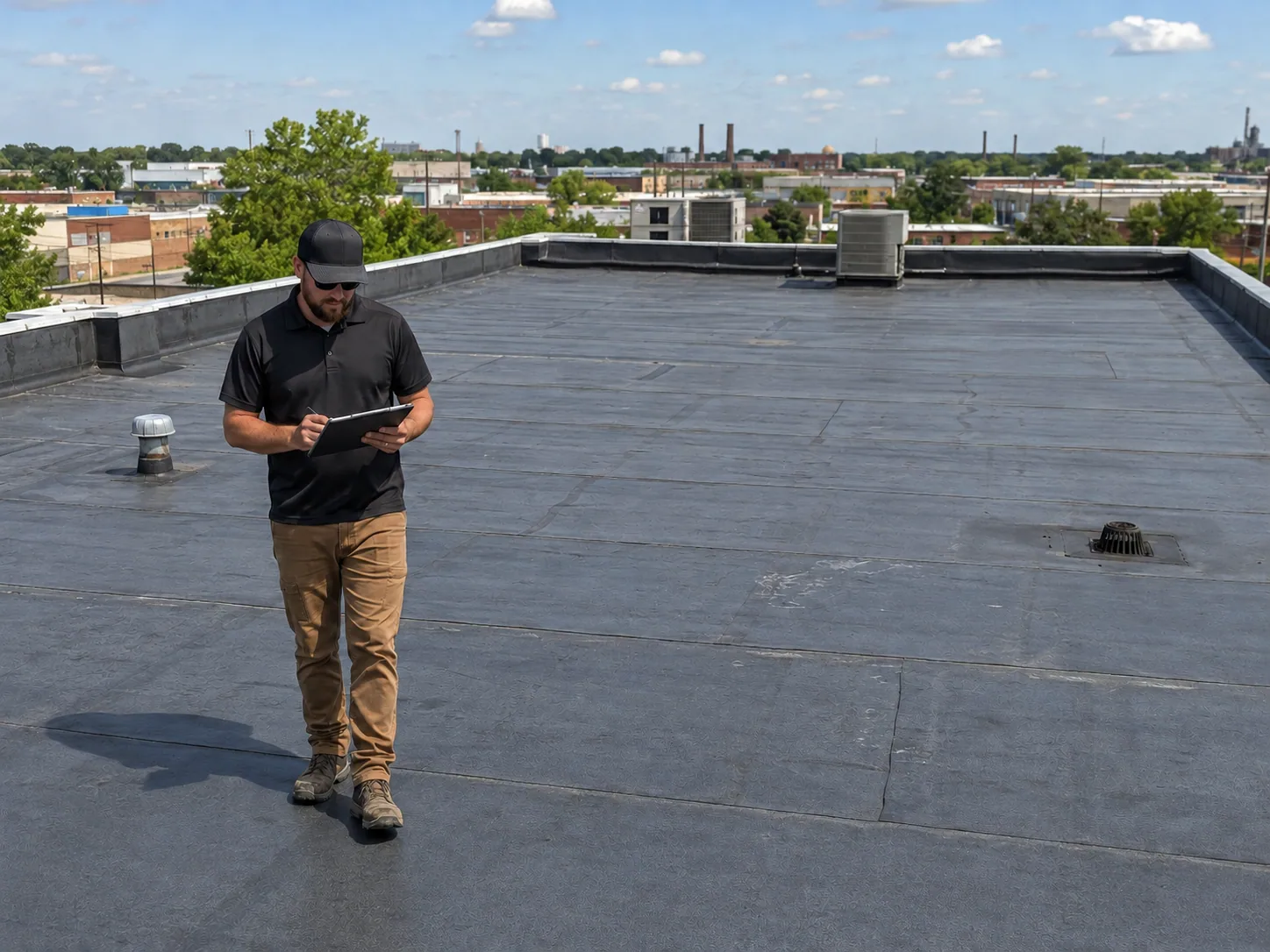
A drone sees the surface. It cannot press on a soft spot, probe a seam, or feel a deck that flexes. It cannot tell the difference between a clean-looking membrane and one that is fully saturated beneath. So every drone survey is followed by a hands-on pass over the areas the images flag, with a moisture meter, a probe and a camera at close range. Combining the two methods gives a result that is quicker than walking alone and more reliable than imagery alone. Our hands-on roof inspection remains the foundation of every condition report.
Island conditions and flight planning
Wind decides whether a drone can fly. The harbor and the open water around the island make gusts common, and Sandy's 80 mph gusts in October 2012 are a reminder of how exposed the shoreline is. We fly in moderate wind with clear sight lines and ground the drone when gusts or rain make images unreliable. We check airspace rules and notify the property owner and tenants before every flight. Shorter days in winter limit useful flying hours, so large roofs may be scheduled in the spring and fall, or combined with a ground walk on a second visit.
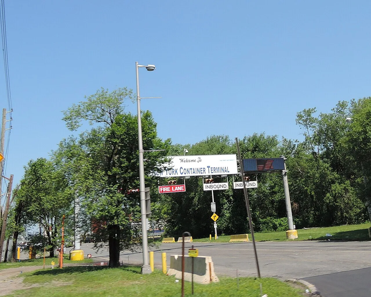
Port, rail and warehouse buildings on the West Shore, around the Howland Hook container terminal and Port Ivory, are the kind of large sites where an aerial pass earns its place on the first day.
How the images feed planning
Aerial images do more than record defects. They help size a repair, plan crane or hoist locations, locate rooftop equipment that will need disconnecting, and measure areas for a replacement scope. A stitched map of a roof lets an estimator mark every curb, drain and penetration before setting foot on the surface, which shortens the time needed for a quote. For a full replacement, the same map becomes the basis of the staging plan, showing where debris chutes, material hoists and safety lines can go without crossing a loading dock or an entrance.
Owners of several buildings gain the most. A set of aerial maps across a portfolio lets an asset manager compare roofs side by side, spot the ones with visible ponding or patching, and send the hands-on crew where it will matter. That saves both inspection hours and repair dollars, and it gives the capital plan a visual record that board members and lenders can read without climbing a ladder.
Using the images after a storm
Drone images are strong evidence after a storm. A pre-storm set and a post-storm set show what changed: lifted membrane at an edge, displaced ballast, newly ponded areas, or debris on the roof. After Ida's rain of September 1 and 2, 2021 set off a flash flood emergency across the city, a before-and-after pair of image sets shows which roofs held water longer than their drains could clear. We store the image sets with dates in the roof file. That history supports claim documentation, and it gives the next inspector a baseline. Our roof condition reports include image sets when the roof calls for them.
What you receive
The deliverable is a set of annotated images keyed to a roof plan, a short summary of what the survey found, and a list of areas that need a ground-level check. If the drone flight finds a problem that needs immediate attention, we call you the same day. If the roof looks clean from above, we still walk the flagged spots before declaring it so. The images stay on file for future comparison. For multi-site programs, the same flight pattern is repeated each year, which makes condition changes easy to spot. Ask for the flight plan before the visit, and we will share what we plan to cover and what we expect to confirm on foot.
Related Roofing Work
More roofing work that comes up alongside Drone Roof Inspection.
Commercial Roofing Questions
Is a drone survey enough on its own?
No. It is a fast first look that finds visible defects and maps the roof. A hands-on walk with a moisture meter and probe confirms what the images suggest.
Will you fly over occupied buildings and parking areas?
We fly over the roof and keep clear of people and vehicles where possible. We give notice to the owner and tenants beforehand and stop the flight if conditions change.
Can a drone find a leak?
It can point toward one by showing ponding, torn flashing or an open seam. The leak is confirmed by tracing from the interior and testing on the roof.
How often should large roofs be photographed from the air?
Once a year is a sensible start, with an extra set after a major storm. The comparison between sets is where the value lies.
Do I need to be on site while the drone flies?
Not usually, but we ask for a contact who can confirm roof access, tell tenants about the flight and reach the building manager if conditions change. A flight over a large roof often takes less than an hour, with the ground walk to follow.
What does the imaging show that a ground walk misses?
Patterns. Standing on the roof you see one patch of ponding at a time, while the aerial map shows how water gathers across the whole field, where the slope fails and which drains are not doing their job. That pattern guides repair far better than a single close-up. High wind, rain or low light can delay a flight, and we reschedule rather than collect images that would not hold up as evidence later.